Navigation alerts and updates can be viewed using the Waterway Explorer tool on Waterway Guide's website.
| Visit the homepage, www.waterwayguide.com, and allow the browser to know your location when prompted. Then, click on "GO" under Explore Your Waterways to enter the Explorer tool. | 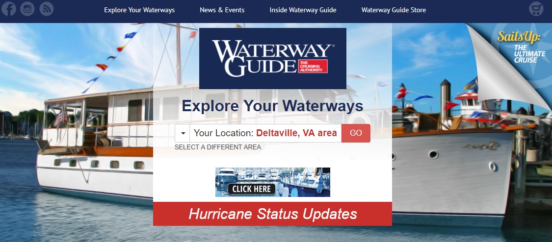 |
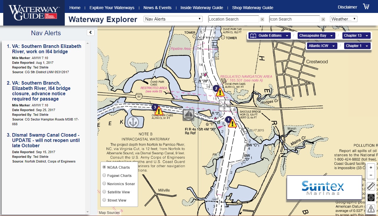
| Inside the Explorer, click on the drop-down menu displayed to the right of the title, "Waterway Explorer," at the top of the page. Select "Nav Alerts" from that list and the map will refresh with all of the Nav Alerts in in your coverage area, indicated by the numbered yellow hazard icons. As you continue to zoom in/out and move around the map, the Nav Alerts will continually refresh for the area you are viewing. |
|
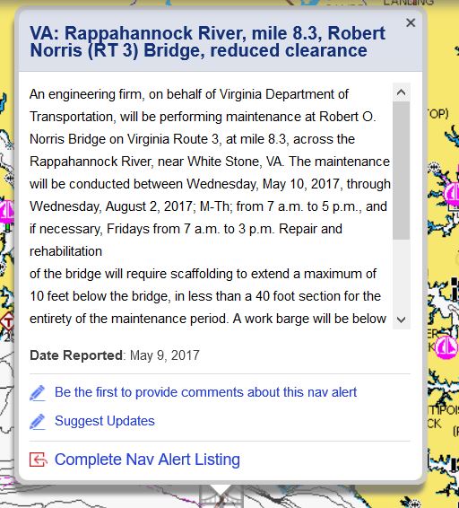
| Click on any of these icons to see a popup containing the details of that alert, and clicking on the "Complete Nav Alert Listing" link in the popup will take you to a page with additional information. |
|
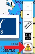
| If you would like to notify boaters about a hazard you've encountered, submit your own Nav Alert to Waterway Guide so it can be posted on the Explorer. Click on the Nav Alert icon in the bottom right of the Explorer, then click on the location where the Nav Alert should be posted on the map. Fill out the popup form to submit your information to Waterway Guide for verification and approval. |
|
More Information About Nav Alerts: